


Published: 05 January 2025
The English Chronicle Desk
The English Chronicle Online
UK snow travel disruption intensified today as heavy snowfall and freezing temperatures forced widespread flight cancellations, rail shutdowns and the closure of hundreds of schools, with forecasters warning that the severe cold snap is set to persist for the rest of the week. Transport networks across the country struggled to cope as Arctic air tightened its grip, pushing temperatures to their lowest levels of the winter so far and leaving large parts of the UK facing hazardous conditions.
Airports including Liverpool John Lennon, Aberdeen, Inverness and Belfast International were among the worst affected, with runways rendered unusable by snow and ice. Airlines cancelled multiple services, while passengers were advised to check flight status before travelling. Loganair confirmed the suspension of several routes in Scotland, while airport operators warned that further delays and cancellations were possible as conditions remained volatile.

Rail services were hit just as severely. LNER issued an unprecedented “do not travel” warning across the entire East Coast Mainline for the remainder of the day, citing multiple weather-related disruptions. ScotRail suspended services on several northern routes, including between Dundee and Aberdeen and Inverness and Kyle of Lochalsh, where deep snow buried tracks. In Wales, National Rail reported blocked lines between Llandudno and Blaenau Ffestiniog, Machynlleth and Pwllheli, and routes towards Manchester via Shrewsbury.
Eurostar also urged passengers travelling between London and the Netherlands to postpone their journeys, as trains were unable to operate beyond Brussels due to severe weather conditions on the continent. All services scheduled to depart from the Netherlands were cancelled, adding to travel misery for thousands returning to work after the festive period.
The Met Office confirmed that the UK faces its coldest night of the winter so far, with temperatures expected to fall to -12C in parts of northern England and Scotland. London is forecast to drop to an unusually bitter -6C overnight, while widespread sub-zero conditions are expected again tomorrow morning. The mercury plunged to -10.9C at Shap in Cumbria overnight, marking England’s coldest night of the season.
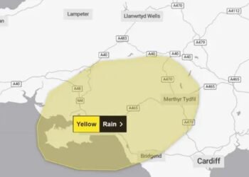
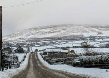
Scotland has borne the brunt of the snowfall, with more than 52 centimetres recorded in parts of Banffshire. Amber weather warnings remain in force, with officials cautioning that rural communities could become cut off. Snow gates were closed on key routes such as the A939 between Tomintoul and Cockbridge, while police urged motorists to avoid non-essential journeys.
Meteorologists have warned of a potential “multi-hazard event” later this week, as a low-pressure system is expected to move in from the west. This could bring a dangerous mix of snow, heavy rain and strong winds, particularly on Thursday and Friday. While milder air is forecast to arrive by the weekend, snow could still fall in southern regions on the leading edge of the system before temperatures rise.
Health officials expressed growing concern over the impact of the prolonged cold. The UK Health Security Agency has an amber cold health alert in place across England until Friday morning, warning of increased risks to vulnerable groups. Dr Agostinho Sousa said the freezing conditions could lead to a rise in heart attacks, strokes and respiratory infections, particularly among those aged over 65 or with pre-existing health conditions.
Hospitals and emergency services are bracing for additional pressure, while the NHS advised older and vulnerable people to keep homes heated to at least 18C, remain active indoors and wear warm clothing. Government guidance also urged people to avoid sitting still for long periods and to check on neighbours who may be at risk.

Hundreds of schools across Scotland, northern England, Wales and Northern Ireland were closed as icy conditions made travel unsafe. Local authorities said decisions were taken to protect pupils and staff, with further closures possible if weather warnings remain in place.
Road conditions deteriorated rapidly, with multiple collisions reported on major routes including the M6, M53 and A50. The AA warned of a “Manic Monday” for breakdown services, predicting high demand due to flat batteries and frozen components after vehicles stood idle during the holiday period. Drivers were urged to carry warm clothing, food and fully charged phones if travel was unavoidable.
Trade unions called on employers to show flexibility. The Trades Union Congress urged companies to allow staff to work from home where possible, stressing that no worker should feel pressured into making dangerous journeys during severe weather.
Despite the disruption, forecasters said some inland areas may see brighter spells later today, though snow showers are likely to persist in northern and eastern regions. Temperatures are expected to gradually recover by the weekend, with parts of southern England potentially reaching double figures, although officials warned that conditions could change rapidly.
Related News:
 Snow and Ice Warnings Affect Scotland and Northern England
 Arctic Blast Hits UK as Snow and Ice Warnings Trigger Travel Disruption
 British teen mistakenly takes wrong flight from Menorca airport and lands in Italy
 Italians Abandon Private Beaches Amid Rising Rental Costs and Economic Pressures
 Lisbon’s Historic Funicular Turns to Tragedy: The Elevador da Glória Derailment
 Sycamore Gap Tree Confirmed to Be Over a Century Old, Scientists Reveal
 UK Weather: Rain Expected Above Average This Autumn, but Drought Likely to Persist
 Storm Amy set to disrupt travel across UK with winds reaching 95mph
 UK launches search for first-ever ‘town of culture’ to highlight overlooked areas
 The Lowry Hotel: Manchester’s Iconic Five-Star Retreat
 World Whisky Tour: 9 Global Gems
 UK Faces Arctic Blast as Polar Vortex Disruption Brings Heavy Snow
 Shouting Works Best to Deter Gulls, UK Study Finds
 New weather warning issued with risk of flooding
 Cold Snap Brings Snow Risk as Flood Recovery Continues
 Thousands at Risk in Gaza Amid Winter Flooding
 Seven Countries, One Winner: Europe’s Best Christmas Market
 Witnesses Recall Tragedy as Couple Die in Flood
 Commuters warned as yellow snow and ice alert hits Northern Ireland
 Snow and Ice Cause Travel Chaos in North Yorkshire
 UK Energy Bills to Rise Slightly in January
 Delhi’s Toxic Air Crisis Leaves Children Sick and Vulnerable
 Families wait in agony for missing after Hong Kong tower blaze
 Scotland Gains 33 New Towns – Life in Growing Communities
 A Colourful Cultural Escape in Mexico’s Querétaro
 Rare shark attack kills woman, injures man at remote NSW beach
 Search underway for British man overboard off Tenerife
 Delhi’s Toxic Air Drives Spike in Respiratory Illnesses
 7 Travel Trends Set to Shape 2026 Adventures
 Post Office Scandal Compensation Tops £1 Billion as Victims Finally See Justice
 The Ketamine Crisis in the UK is a Silent Epidemic Leaving Users with Lifelong Pain
 The Fight for Trans Safety Is a Fight for Everyone’s Safety — MPs Must Debate This Crucial Issue
 My Husband Won’t Stop Playing with Lego and It’s Driving Me Nuts
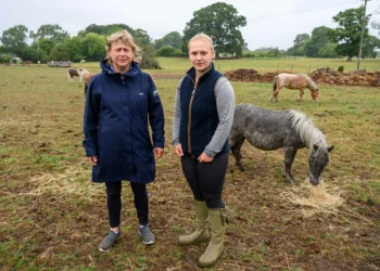 Heartbreak in the New Forest as Shetland Ponies Vanish, Community on Edge
 Fire Contained at Edinburgh’s Arthur’s Seat After Overnight Battle by Firefighters
 UK Heatwave Continues with Temperatures Soaring, Thunderstorms Forecast Across the Country
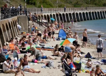 UK Weather: Heat Alerts Extended as Temperatures Set to Reach 30°C This Weekend
 Access to Iconic Cornish Beach Cut Off by National Trust Amid Safety Concerns
 Corfu Beyond the Crowds: Discovering Serenity in Southern Villages and Hidden Taverns
 Massive 641-Mile Storm Set to Batter UK with 15 Hours of Rain and Strong Winds
 Tragedy Strikes Britain’s Richest Divorcee as Boyfriend Dies Just Four Years After £350m Breakup
 Why E-Bikes and E-Scooters Are Making Streets a ‘Nightmare’ for Blind People
 Spectacular ‘Blood Moon’ Illuminates Skies Across the Globe
 London to Regulate Pedicabs: Music Turned Down, Fares Set by the Minute
 Jeremy Clarkson’s Pub: A Sunday Lunch Like No Other
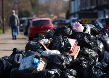 Birmingham Bin Strike Enters Sixth Month as Negotiations Stall
 Over 40% of Private Renters Forced to Ration Energy to Afford Bills, Study Reveals
 One in Three GPs in England Do Not Work in NHS, Raising Concerns Over Access to Care
 Persistent Offenders Owe Over £700m in Ulez Fines as TfL Cracks Down on Evasion
 Northern Ireland Faces Fears of Prolonged Race Riot “Permacrisis”
 Zarah Sultana Seeks Legal Action After Bitter Clash with Jeremy Corbyn Over Party Membership Funds
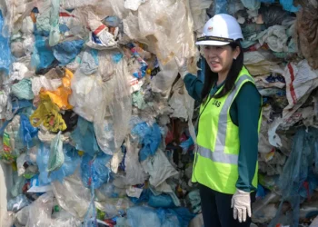 Scottish Teenager’s Petition on Single-Use Plastics Gains Parliamentary Support
 White Low-Income Pupils in England Show Lowest Levels of School Engagement, Study Finds
 Ed Miliband Warns UK Government on X, Citing Elon Musk as a “Dangerous Influence”
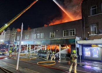 Massive London Poundland Fire Engulfs High Street
 Sussexes Warn on Children’s Phone Use Echoing Princess of Wales
 Son of ex-England footballer dies in tractor crash
 Real living wage set to rise nearly 7% for UK workers in 2026
 M&S and Morrisons Lead Christmas Supermarket Taste Test
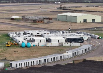 Army Barracks to House Migrants as Hotels Phase Out
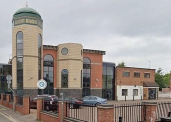 Peterborough Mosques Tighten Security After Attack
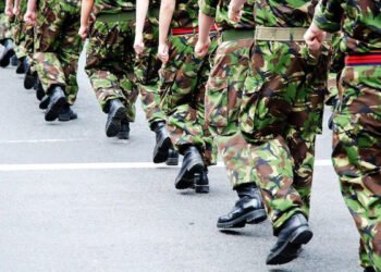 Army Officers Orders to Cut Ties with Men-Only Clubs
 Kent village told to remove flags before Christmas lights go up
 From Lego to Pokémon: How Adults Are Driving UK Toy Market Growth
 Reeves rejects £1bn plea for NHS redundancy payouts
 Northern Lights may illuminate UK skies this week
 PM Condemns Leaks, Vows Loyalty to Ministers and Stability
 Senator John Fetterman Hospitalized After Fall from Heart Flare-Up, Keeps Sense of Humor
 What Now for the Queen’s Childhood Playhouse After Andrew’s Eviction?
 Van Dwellers Face Eviction After Park Misuse Sparks Outcry
 Director Michael Caton-Jones Reflects on Career and Beginnings
 Inside the Helpline Protecting Missing Children in the UK
 Trump EPA Moves to Roll Back Soot Pollution Limits
 Five-Year-Old Dies After Rare Tonsil Surgery Complication
 Tokyo court rules Japan’s same-sex marriage ban constitutional
 Rusty Bond-Era Aston Martin Restored to £1m Glory
 More Patients Now Contacting GPs Online, Data Shows
 ‘Extinct’ Antelope Returns to Sahara, Bringing Hope
 IndiGo Cancels Hundreds of Flights Amid Pilot Shortages
 Wiltshire Police Use Lasso to Catch Rampaging Village Goat


