

Published: 19 November 2025 Wednesday . The English Chronicle Desk. The English Chronicle Online
The UK faces a challenging midweek as a cold snap brings snowy and icy conditions across parts of the country, prompting multiple weather warnings and raising concerns about travel safety. The Met Office has issued yellow warnings for snow and ice for Wednesday, with an amber alert now in place for Thursday, highlighting the potential for widespread disruption.
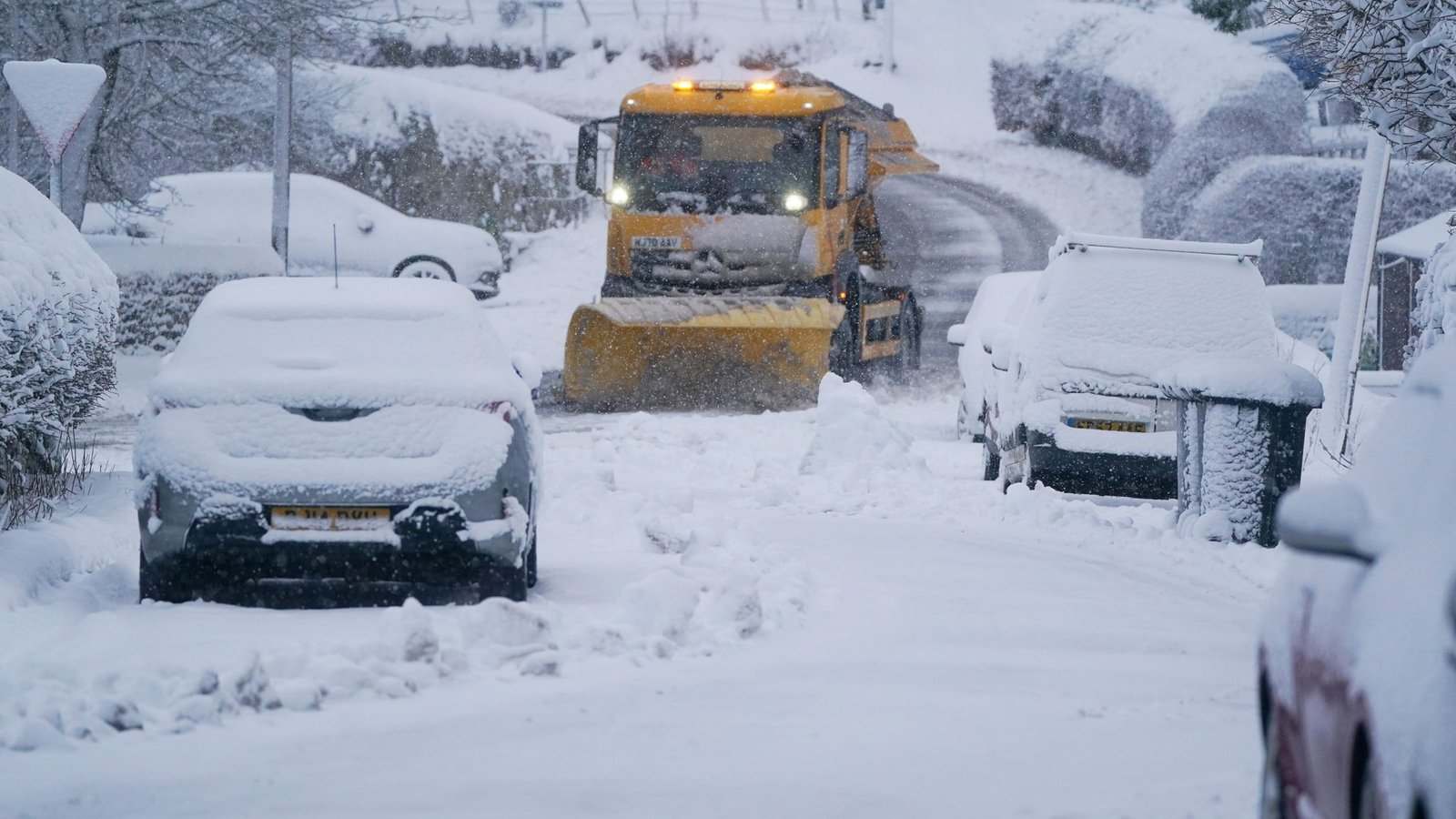
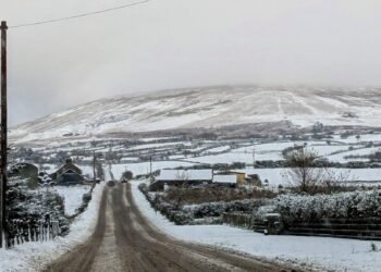
The chilly conditions are being driven by strong northerly winds drawing arctic air down from Scandinavia. As a result, parts of the UK, particularly higher ground in Wales, northern England, Scotland, and Northern Ireland, are waking up to fresh snow and ice on the roads. While lower-level areas may see little accumulation, highland regions are expected to record 2-5cm, with some spots potentially seeing up to 15-20cm by Thursday.
The Met Office has specifically highlighted routes such as the North York Moors and the Yorkshire Wolds, which could see up to 25cm of snow, prompting a more severe amber warning from 05:00 to 21:00 GMT on Thursday. Drivers in these areas are being urged to exercise extreme caution as rural communities may become temporarily cut off, vehicles could become stranded, and power cuts may occur. Blizzards and strong gusty winds could exacerbate the hazardous conditions, with some areas at risk of thundersnow—an intense combination of snow and lightning storms.
National Highways has confirmed that more than 530 gritters are available to tackle icy roads and snow-covered stretches when conditions demand it. Darren Clark, a severe weather resilience advisor for National Highways, emphasized the importance of preparedness for all drivers. He urged motorists to carry out quick checks of their vehicles, including lights, tyres, and fuel, and to ensure they have essential supplies such as food, water, clothing, and a torch in case they encounter delays.

Commuters are being advised to plan journeys carefully and allow extra travel time, as bus and train services may face delays or cancellations. Major routes, particularly those traversing hills and highland areas, are expected to be most affected, and the Met Office has warned that overnight ice could create some of the trickiest driving conditions of the year.
Wednesday’s daytime temperatures are expected to remain cold, ranging from 1C to 7C, but the strong northerly wind will make it feel even colder, especially in eastern areas of the UK. The cold snap is accompanied by a series of health alerts issued by the UK Health Security Agency (UKHSA). Yellow cold-weather alerts are in place across the Midlands until Saturday morning, with more severe amber alerts covering the North West, North East, Yorkshire, and Humber regions. These alerts serve as a warning to health and social care services that vulnerable populations could be particularly affected by the cold, with additional demand on services anticipated.
The UKHSA warns that extreme cold can increase the risk of excess deaths, particularly among the elderly or those with pre-existing health conditions. Vulnerable younger age groups may also be impacted, particularly those without adequate heating or protection from the elements. Residents are encouraged to take extra precautions, including ensuring their homes are properly insulated, keeping active to maintain warmth, and checking on elderly or vulnerable neighbors.
The arctic air is expected to persist into Thursday, with sub-zero overnight temperatures across much of the country. Rural parts of Scotland could experience lows as cold as -12C. While daytime highs may remain slightly above freezing, the combination of snow, ice, and strong winds is creating conditions that are hazardous for travel and outdoor activity.

Despite the severity of the weather, forecasters say that conditions should begin to ease toward the weekend. Temperatures are expected to rise slightly as the influence of the Atlantic brings milder air, cloud cover, and some rain. By Saturday, daytime highs are projected to return closer to seasonal averages, with a reduced risk of snow and ice at lower elevations. Nevertheless, residents are advised to remain vigilant through the rest of the week, particularly in areas affected by heavy snow or persistent frost.
The snow and ice warnings coincide with a period of high alert for public safety and travel services, as authorities monitor conditions and deploy resources to maintain road safety. The combination of freezing temperatures, icy surfaces, and potential snow accumulation has prompted warnings for drivers to avoid unnecessary journeys and to exercise extreme caution if travel is required. Emergency services have also been placed on standby to respond to incidents arising from the weather.
In addition to the direct impact on transport, the weather has wider implications for communities. Schools, local councils, and public services are being urged to prepare for the possibility of disruption, including closures or delayed operations. Farmers and those working outdoors are similarly being cautioned about the risks associated with icy conditions, particularly when handling equipment or livestock.
While the UK has experienced snow and ice during the autumn months before, the combination of an arctic air mass, strong winds, and sub-zero night-time temperatures is creating particularly challenging conditions for this period of the year. Authorities have repeatedly emphasized the importance of preparation, planning, and patience, urging the public not to underestimate the potential hazards.
Residents have been advised to keep track of updates from the Met Office and local councils, to ensure they are aware of changing conditions and any new warnings. The public is also encouraged to follow official guidance for winter safety, including driving only when necessary, wearing appropriate clothing, and keeping a supply of essentials at home.
Although the worst of the conditions are expected in the north and higher ground, all parts of the UK are likely to feel the chill and may experience light snow, sleet, or frost. Those living in urban areas are advised to watch for icy patches, particularly on pavements, steps, and untreated surfaces, which can pose a risk of slips and falls.
As the cold snap continues, it serves as a reminder of the ongoing challenges posed by extreme weather in the UK. Communities, public services, and individuals are being called upon to act responsibly and prepare for potentially hazardous conditions over the next few days. The Met Office and National Highways will continue to monitor the situation, providing regular updates and guidance to ensure public safety and minimise disruption.
With colder air expected to persist through midweek, the UK remains in the grip of one of the most significant early-season winter weather events in recent years. As snow and ice warnings remain in place, authorities are urging caution on the roads and for individuals to take all necessary steps to stay safe.
Related News:
 Snow and Ice Warnings Affect Scotland and Northern England
 UK launches search for first-ever ‘town of culture’ to highlight overlooked areas
 The Lowry Hotel: Manchester’s Iconic Five-Star Retreat
 World Whisky Tour: 9 Global Gems
 UK Faces Arctic Blast as Polar Vortex Disruption Brings Heavy Snow
 Shouting Works Best to Deter Gulls, UK Study Finds
 Cold Snap Brings Snow Risk as Flood Recovery Continues
 Thousands at Risk in Gaza Amid Winter Flooding
 Seven Countries, One Winner: Europe’s Best Christmas Market
 Witnesses Recall Tragedy as Couple Die in Flood
 Commuters warned as yellow snow and ice alert hits Northern Ireland
 Snow and Ice Cause Travel Chaos in North Yorkshire
 UK Energy Bills to Rise Slightly in January
 Delhi’s Toxic Air Crisis Leaves Children Sick and Vulnerable
 Families wait in agony for missing after Hong Kong tower blaze
 Scotland Gains 33 New Towns – Life in Growing Communities
 A Colourful Cultural Escape in Mexico’s Querétaro
 Rare shark attack kills woman, injures man at remote NSW beach
 Search underway for British man overboard off Tenerife
 Delhi’s Toxic Air Drives Spike in Respiratory Illnesses
 7 Travel Trends Set to Shape 2026 Adventures
 Lisbon’s Historic Funicular Turns to Tragedy: The Elevador da Glória Derailment
 Storm Amy set to disrupt travel across UK with winds reaching 95mph
 Peterborough Mosques Tighten Security After Attack
 Prunella Scales: From Fawlty Towers Icon to Beloved Canal Explorer
 Hospice Cuts Raise Alarm Across England Amid Funding Crisis
 UK Woman Loses Child Benefit After Booking Flight She Never Took
 Army Officers Orders to Cut Ties with Men-Only Clubs
 Children to Learn Local History in Major Curriculum Overhaul
 Experts Warn on Home Birth Risks, Call for Skilled Midwives
 Prince William Plants Trees with Brazil’s Nature Heroes
 Greta Thunberg Backs Student Facing UK Visa Revocation
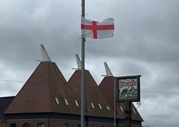 Kent village told to remove flags before Christmas lights go up
 Oprah enjoys Meghan’s jam on English muffins
 Earl of Yarmouth Faces £1.3m Legal Bill Over Family Estate
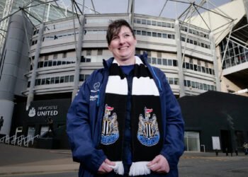 Newcastle United Lifts Ban on Fan Over Gender-Critical Views
 Jailed UK climate protesters face extremist-style restrictions
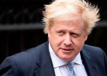 Boris Johnson accused of undermining BBC leadership
 How to get help when a child goes missing – call 999 urgently
 ‘Reckless’ cuts to victims’ services will cost more than they save
 From Lego to Pokémon: How Adults Are Driving UK Toy Market Growth
 Seven Conditions That Automatically Qualify You for a Free Bus Pass
 Reeves rejects £1bn plea for NHS redundancy payouts
 UK toy market enjoys bumper year as ‘kidults’ fuel demand
 Northern Lights may illuminate UK skies this week
 Politics latest: Starmer ‘will fight any leadership coup’ as Streeting denies attempt to oust Labour PM
 A Local Chef’s Guide to Iconic Boston Clam Chowder
 PM Condemns Leaks, Vows Loyalty to Ministers and Stability
 Son Reveals UK Couple in Iran Resort to Hunger Strike for Help
 New weather warning issued with risk of flooding
 Working-Class Men with Prostate Cancer Left Behind by NHS
 Senator John Fetterman Hospitalized After Fall from Heart Flare-Up, Keeps Sense of Humor
 Australia Mourns Paralympic Champion Paige Greco
 UK Asylum Overhaul Sparks Debate Over Human Rights and Deportations
 Mum Calls for New Licence Rules After Teen Road Death
 Mother Watches in Horror as Teen Daughter Dies on Tracks
 Agency Workers Vote to Join Picket Lines Amid Dispute
 Irish Hero Parrott Says Goal Brought First Tears in Years
 What Now for the Queen’s Childhood Playhouse After Andrew’s Eviction?
 Van Dwellers Face Eviction After Park Misuse Sparks Outcry
 ‘Traumatic Wait’: Northern Ireland Women Face Breast Cancer Delays
 West Councils Falling Behind on Climate Goals
 Healthy Habits in Your 30s That Boost Life in Your 70s
 Woman Meets Boy Whose Life She Saved with Kidney
 Raccoons Could Become America’s Next Pet
 Kate Forbes: Motherhood Harder Than Politics
 Night Bus Crash in Cambodia Kills 16
 Coffins Now Too Large to Cremate Amid Rising Obesity Crisis
 Clifftop Lodges Spark Fears Over Jurassic Coast Stability
 Labour MP claims devolution bill is ‘blatant discrimination’ against Cornwall
 The 20 best Christmas markets in the UK, from Bath to Edinburgh
 These are the best Airbnb cottages in the UK for getaway inspired by The Holiday
 Vicki Fears Losing Motability Car
 Planned Palestinian Flag Raising at Belfast City Hall Faces Delay Amid Legal Concerns
 Residents Face £3.6m Bill for Unsafe Kirkby Flats
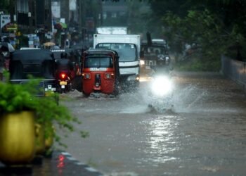 Sri Lanka Floods Leave 56 Dead, Dozens Missing
 Fibromyalgia Patients Struggle as NHS Fails to Provide Care
 Machynlleth High Street Left Without Christmas Lights
 Virgin Media Fined £23.8m Over Telecare Safety Failures
 Pavarotti statue frozen in Italian ice rink sparks backlash


