

Published: 3 March 2026. The English Chronicle Desk. The English Chronicle Online
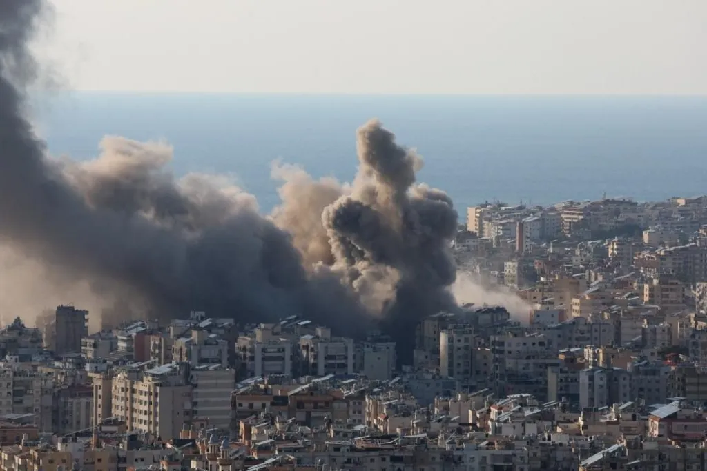
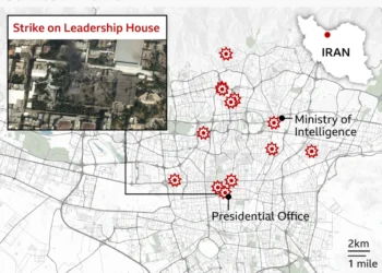
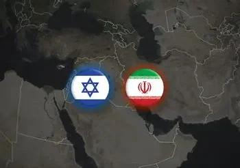
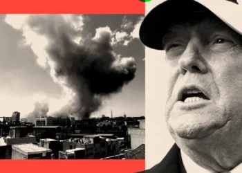
Strikes linked to the ongoing war involving the United States, Israel and Iran have unfolded across a wide swath of the Middle East, affecting multiple countries and strategic facilities. Mapping data and satellite analyses help visualise the geographic breadth of these attacks and counter‑attacks.

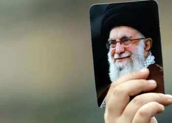
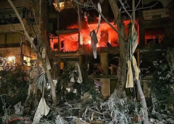
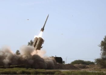
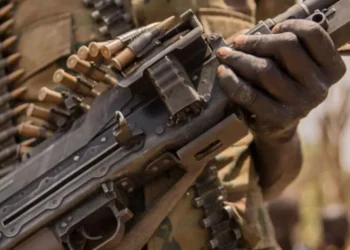
Joint U.S. and Israeli strikes on Iran began with coordinated air and missile operations that hit major urban and military sites in cities including Tehran, Isfahan and other provinces. These early strikes reportedly targeted command centres, missile infrastructure and leadership compounds, including damage to the Supreme Leader’s compound in Tehran.
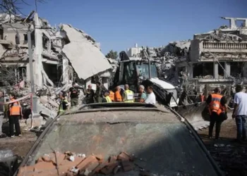
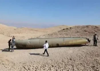
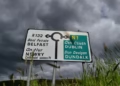
In response, Iran launched ballistic missile and drone barrages that reached far beyond its borders. Missile fire and aerial drones have been recorded over several Gulf states including Qatar, Bahrain, Kuwait and the United Arab Emirates, prompting airspace closures and interceptions by local defence systems.
Maps tracking the conflict show that retaliatory strikes and missile trajectories have been traced across the region. In Qatar, Iranian missile barrages led to airspace closures and defensive interceptions. In Bahrain, damage to the U.S. Fifth Fleet naval base was identified via satellite imagery following Iranian attacks.
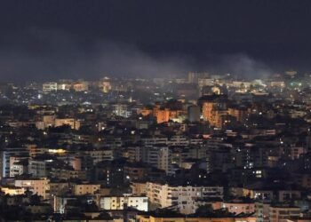
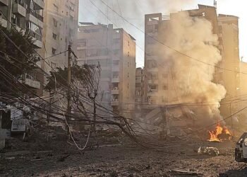
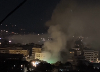
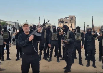
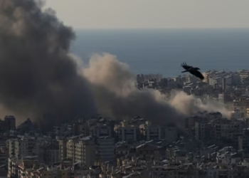
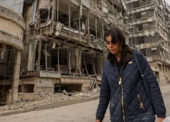
The conflict’s expansion has also included Hezbollah’s entry from Lebanon, with rockets fired toward northern Israel. This prompted Israeli strikes in southern Lebanon and Beirut, extending the geographic footprint of the war.
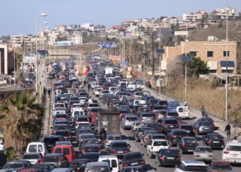
Further mapping efforts highlight strike clusters across multiple nations, illustrating how the conflict has transcended initial national boundaries and become a multi‑theatre regional confrontation. These geographic visualisations are increasingly used by analysts to understand where military assets and civilian infrastructure have been affected as the situation continues to evolve.
The shifting maps of strikes underscore not only the scale and intensity of the military campaign but also the complexity of the conflict’s regional reach, with implications for global energy routes, air travel and international security dynamics.
Related News:
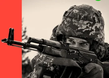
 Israel and Hezbollah Exchange Fire as Conflict Worsens
 Iran’s Regime Still Intact — Coming Days Will Test Its Survival
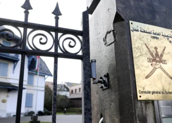
 Allies of US in the Gulf Bear Brunt of Iran Attacks
 Hopes and Fears as US Iranians Take to Streets After Toppling of Supreme Leader
 Retaliations Continue on Day Two of US-Israel Attacks on Iran
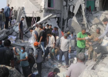 At Least 153 Dead After Reported Strike on School, Iran Says
 At Least 153 Dead After Reported Strike on School, Iran Says
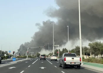
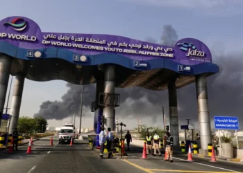 ‘It’s Eerie’ – Dubai on Edge as City Comes Under Attack
 BBC Reports from Beit Shemesh After Deadly Iranian Missile Strike
 Iran, the US, and a World Cup That Starts in Three Months
 Allies of US in the Gulf Bear Brunt of Iran Attacks
 Israeli Attacks Kill 31 in Lebanon, Iran Strikes Across Region, US Warplanes Crash in Kuwait
 In Maps: Strikes Across Iran and the Middle East
 Months of Planning Behind US‑Israeli Mission to Target Iran’s Supreme Leader
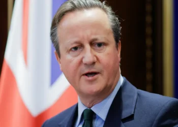
 Cooper: Joining US Strikes on Iran ‘Not in Britain’s Interest’
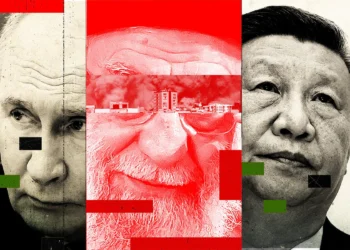 What Khamenei’s Death Means for Russia and China
 Tehran Makes New Threat to Gulf Shipping as US Says ‘Hardest Hits’ on Iran ‘Yet to Come’
 Trump’s Iran Endgame Unclear After Mixed Messaging on War Aims
 Did Trump Declare War and Did Congress Approve Iran Attacks? What to Know
 Rubio Responds to Reported Strike on Iranian School
 Scots Caught Up in Middle East Crisis ‘Just Waiting for the Next Explosion’
 The Third Day of the US‑Israeli War With Iran
 Why the US and Israel attacked Iran
 Israel Launches Fresh Strikes on Tehran & Beirut; US Warns “Hardest Hits” Ahead
 Three Days In, This War’s End Is Still Unclear
 US Has ‘Enough Weapons for Forever War,’ Trump Says
 Israel Strikes Lebanon After Hezbollah Rocket Fire as Iran Conflict Widens
 Eleven Killed in Israeli Strikes on Gaza, Rescuers Say
 ‘I Would Scream in My Sleep’: Alawite Women from Syria Tell of Kidnap and Rape
 Iran Says ‘Guiding Principles’ Agreed With US at Nuclear Talks
 US Pushes to Recruit Organised Crime Gangs into Gaza Police Force
 US Urges Iran to Make Deal as Military Presence Rises
 US Build-Up of Warships and Fighter Jets Tracked Near Iran
 Trump’s Foreign Policy Dilemma Laid Bare by Iran Tensions
 Hamas Holds Vote to Choose New Interim Leader, Source Tells BBC
 Ukraine Negotiator Reveals What It Feels Like Facing Russia
 Mandelson Arrested Amid Political Turmoil as Ukraine Marks Four Years of Conflict
 Russian Troops Executed by Commanders, Soldiers Tell BBC
 US Partially Evacuates Beirut Embassy Amid Rising Iran Tensions
 Ukraine war briefing: Why Ukraine remains defiant and does not feel close to defeat
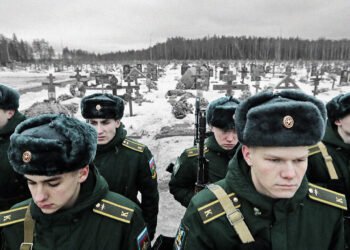 ‘Anyone who runs is shot’: Russian soldiers describe killings of troops who refuse orders
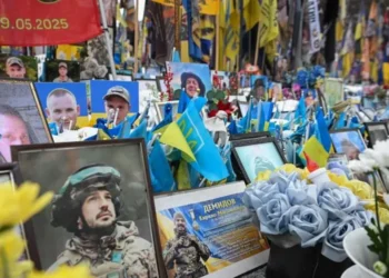 Ukraine remembers its dead as war enters a fifth year
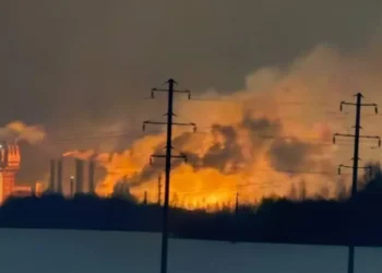 Seven Killed in Ukrainian Drone Attack on Russian Factory
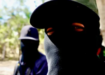 ‘Fear Is Everywhere’: Reports From Mexican City Turned Into War Zone by Drug Cartel Feud
 US and Iran to Hold Talks as Pressure for Nuclear Deal Builds
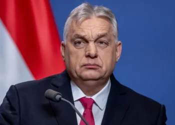 Orbán Accuses Ukraine of Disrupting Oil Supplies to Hungary
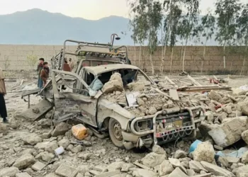 Pakistan Strikes Afghanistan as PM Says Forces Ready to ‘Crush’ Taliban
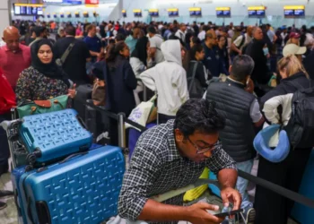 Middle East Flights Halted After Iran Strikes
 UK Will Allow US to Use Bases to Strike Iranian Missile Sites, PM Says
 US Iran Operation: Sixth Service Member Killed
 Hezbollah Anger Erupts as War Returns to Beirut
 Gaza Siege Deepens as Iran War Escalates
 Melania Trump Chairs UN Security Council Meeting on Children in Conflict Amid Iran Strikes
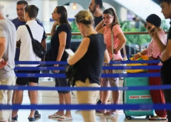 Limited Flights Leave UAE But Disruption Continues Amid Iran Strikes
 Israel Launches Fresh Strikes on Tehran and Beirut on Day Four
 At Least 169 Killed in South Sudan ‘Surprise’ Attack
 ‘They Hit So Hard the House Was Shaking’: Iranians Describe US‑Israel Attacks
 UK Must Act with Courage and Clarity on Israel-Palestine Conflict, Says Foreign Affairs Committee Report
 Yvette Cooper Signals Global Momentum Towards Gaza Peace Deal Amid Humanitarian Crisis
 Chaos at Ibrox as Martin’s Rangers Era Comes to an End
 Trump Claims Modi Has Agreed to Halt Russian Oil Imports Amid Heightened US Pressure
 Russia’s Latest Push to Win US Favors Shows Deep Desperation
 BBC to Apologise Over Edited Trump Speech Amid Backlash
 Britain deploys RAF specialists to assist Belgium with drone threats
 Trump Urges Herzog to Grant Netanyahu Full Pardon
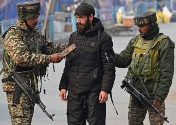 Indian authorities demolish Kashmir home linked to Red Fort blast
 Greene Pushes Epstein Files Amid Trump Fallout
 December Run-Off in Chile as Election Produces No Winner
 Zelenskyy Signs Fighter Jet Deal Amid Russian Drone Attacks
 Shadow Fleet at Sea: Europe’s Battle Against Illicit Oil Shipping
 US Suspends Afghan Immigration After White House Shooting
 ‘Extinct’ Antelope Returns to Sahara, Bringing Hope
 Sydney Shark Attack Surge Shocks Australia Beaches
 Portugal Election Delivers Socialist Win as Far Right Surges
 Australian Families Leave Syrian Camp for Home
 Epstein Eyed Record Label Investment to Access Women, Files Suggest
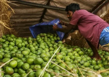 How Do You Modernise Mango Farming? India’s Growers Urged to Innovate as Climate Change Hits
 Drugs, Denial, Stigma: Fiji’s HIV Crisis Hits Children
 Hilary Knight speaks out on Trump’s recent hockey remarks
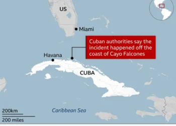 American Citizen Killed in Cuba Boat Shooting, U.S. Officials Say


