


Publishing Date: May 19, 2026
Meteorologists across Western Europe have broken their traditional “clinical silence” regarding seasonal unpredictability, issuing an urgent, high-level alert for a dramatic meteorological event that is set to rewrite the record books. Following an agonizing, prolonged spell of near-freezing Arctic conditions that battered the continent for over a week, the weather infrastructure is moving at a frantic “160 MPH clip” toward a total inversion. A massive, “asymmetric” ridge of high pressure is rapidly establishing itself over the North Atlantic and western Europe, pulling a plume of intense, scorching air directly from North Africa. The abrupt transition is expected to push temperatures up by a staggering 15°C within a forty-eight-hour window, triggering a historic late-spring heatwave that exposes the growing “resilience deficit” of mid-latitude climate patterns.

The scale of this upcoming thermal shock is particularly jarring given the “nasty” freeze that dominated the first half of the month. Just days ago, a stubborn blocking high over the Atlantic combined with low pressure over Scandinavia to drag a brutal pocket of Arctic air directly southwards, sending temperatures plunging up to 15°C below the late-spring seasonal average. The unexpected frost wreaked havoc on agriculture, forcing French grape growers to lit fires in a desperate bid to preserve their vulnerable vineyards from ruin. Simultaneously, the collision of intense May sunshine and unstable polar air triggered massive, chaotic thunderstorms, with global tracking networks recording an unprecedented 750,000 lightning strikes across Europe in less than a week. Serbia was forced to issue red hydrological and meteorological warnings for severe hail and flash flooding, leaving local communities completely overwhelmed.
However, the atmospheric machinery has “recalibrated” with terrifying speed, setting the stage for what forecasters call a milestone surge in extreme heat. As the westerly jet stream buckles under the pressure of a intensifying, marine heatwave expanding across the Mediterranean and Norwegian Seas, the cold northerly flow has been completely cut off. By the time the long Bank Holiday weekend arrives on Friday, May 22, the sub-tropical airmass will have fully engulfed the British Isles and central Europe. In Spain and Portugal, the mercury is projected to cross into the mid-to-high 30s, meaning that overnight lows in these regions will actively exceed the maximum daytime temperatures recorded during last week’s shivering cold snap.
In the United Kingdom, the upcoming weather maps have ignited an “asymmetric” wave of consumer excitement and public health anxiety. The Met Office and BBC Weather have confirmed that the late May Bank Holiday weekend (Saturday, May 23 to Monday, May 25) will deliver the first definitive heatwave conditions of the year to southern and central England. London and the surrounding Home Counties are on track to enjoy clear, cloudless skies with highs easily hitting 26°C to 27°C on Saturday and Sunday. The peak of the mini-heatwave is expected to materialize by mid-week on Wednesday, May 27, when a secondary pulse of hot air pushes the mercury to a blistering 29°C across seventeen distinct English counties, including Berkshire, Kent, Cambridgeshire, and the West Midlands, completely bypassing the typical “bottleneck” of gradual seasonal warming.
While sunseekers are rushing to coastal resorts at a “160 MPH clip,” climate scientists are viewing this extreme whiplash through a lens of profound concern, pointing to an “accountability rot” in global carbon reduction efforts. Long-range modeling systems, including the ECMWF, suggest that this late-spring heatwave is merely the opening salvo of a major, prolonged summer drought forecast to lock over Europe and Southwest Russia throughout 2026. The rapid intensification of a strong El Niño event in the Pacific, coupled with an intense “North Atlantic warm hole” south of Greenland, has fundamentally disrupted traditional jet stream behavior. This structural imbalance ensures that high-pressure blocks will become increasingly dominant, trapping extreme heat over the continent and suppressing the vital, rain-bearing Atlantic fronts needed to replenish parched soils.

Ultimately, the impending late-spring sizzler serves as a vivid, “clinical” manifestation of a warming planet. The days of predictable, gentle transitions between the seasons have been entirely replaced by violent, multi-degree temperature swings that challenge industrial farming, energy grids, and human health. As local councils issue emergency heat-health alerts and urge vulnerable citizens to pack sunscreen and stay hydrated, the message from the atmosphere is clear: the “sacred” stability of the European spring has been permanently broken. For a continent bracing to swing from an Arctic winter coat to mid-summer heat in the span of seven days, the upcoming weekend is no longer just a pleasant holiday break—it is a stark, unyielding look at the volatile climate realities of the mid-century.
Related News:
 Storm Leonardo Triggers Election Delay Calls in Iberia
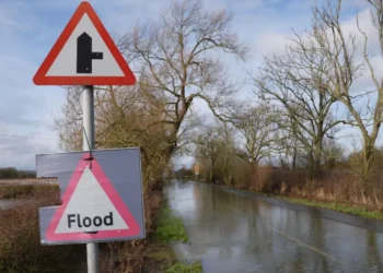
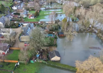
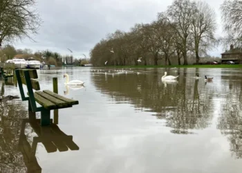 Dozens of Flood Warnings in England After Days of Non-Stop Rain

 BRRRITAIN: Met Office Issues Yellow Weather Warning for More Snow
 Fast-moving Wildfires Rage Across Southwestern US
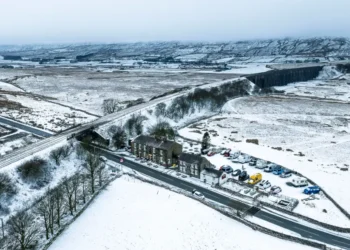
 Snow and Rain Warnings as Cold Snap Continues in the UK
 Shutting North Sea ‘Will Drive Up Carbon Emissions’
 As Trump Retreats from Climate Goals, China Is Becoming a Green Superpower
 Eight Skiers Found Dead After California Avalanche
 Break from Wintry Weather as UK Temperatures to Climb to 14 °C
 How Do You Modernise Mango Farming? India’s Growers Urged to Innovate as Climate Change Hits
 Storm Hernando: Edinburgh Airport Flights Cancelled in US Travel Chaos
 Storm Hernando: Edinburgh Airport Flights Cancelled in US Travel Chaos
 Probe After Illness Kills 72 Tigers in Thailand
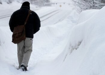 Exciting’ or ‘Frustrating’? East Coast Reacts to Record Snow
 More Than 5,000 Flights Cancelled as US East Coast Digs Out of Record Snow
 UK Winter Nowhere Near a Record Breaker Despite Floods and Storms
 UK Records Warmest Day of the Year as Temperatures Exceed 18 °C
 Study Says Only Two Nations May Survive Nuclear War
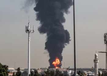
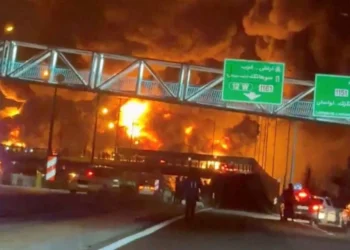 ‘Night turned into day’: Iranians tell of strikes on oil depots
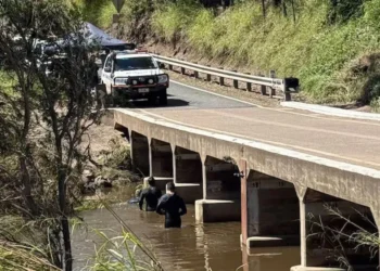 Bodies of Two Chinese Backpackers Found in Floodwaters
 Millions Left Without Power as Grid Fails
 Red Skies and Raging Floods: One Dead as Storm Erminio and Saharan Dust Grip Greece
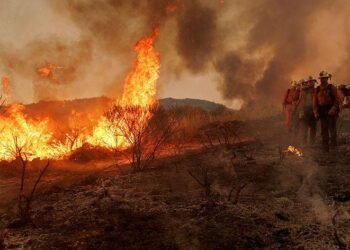 Evacuations Ordered as California Wildfires Spread Fast
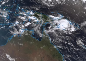 Queensland Braces for Potential Second Severe Cyclone Hit
 Moldova River Crisis Exposes War’s Hidden Cost
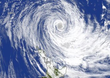 Cyclone Vaianu Forces Mass Evacuations in New Zealand
 Chornobyl Still at Risk 40 Years After Disaster
 Capitalism ‘Suicidal’, Warns Petro at Climate Summit
 Coalition pushes fossil fuel phaseout plan
 Norway Doubles Down on Oil and Gas for Europe Energy Security
 Doomsday Clock Nears Midnight Amid Global Crises
 UK Must Act with Courage and Clarity on Israel-Palestine Conflict, Says Foreign Affairs Committee Report
 Yvette Cooper Signals Global Momentum Towards Gaza Peace Deal Amid Humanitarian Crisis
 Chaos at Ibrox as Martin’s Rangers Era Comes to an End
 Russia’s Latest Push to Win US Favors Shows Deep Desperation
 BBC to Apologise Over Edited Trump Speech Amid Backlash
 Greene Pushes Epstein Files Amid Trump Fallout
 Zelenskyy Signs Fighter Jet Deal Amid Russian Drone Attacks
 Shadow Fleet at Sea: Europe’s Battle Against Illicit Oil Shipping
 South Africa’s Garden Route Gem Faces Looming Water Crisis
 Draft Severe Weather Plan Following Storm Flooding
 Portugal Election Delivers Socialist Win as Far Right Surges
 Australian Families Leave Syrian Camp for Home
 ‘I Would Scream in My Sleep’: Alawite Women from Syria Tell of Kidnap and Rape
 Epstein Eyed Record Label Investment to Access Women, Files Suggest
 Ukraine Negotiator Reveals What It Feels Like Facing Russia
 Drugs, Denial, Stigma: Fiji’s HIV Crisis Hits Children
 Hilary Knight speaks out on Trump’s recent hockey remarks
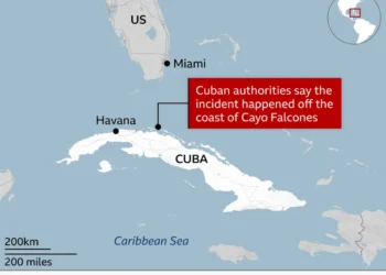 American Citizen Killed in Cuba Boat Shooting, U.S. Officials Say
 Iran’s Regime Still Intact — Coming Days Will Test Its Survival
 In Maps: Strikes Across Iran and the Middle East
 Brit ‘in Good Spirits’ Amid Dubai Missile Attacks, Stranded but Safe
 Civilian Deaths in Iran Pass 700 Amid Fear of Bombs and Regime Clampdown
 ‘Every Day Feels Like a Month’: Iranians Describe Life Under ‘Constant’ US‑Israeli Strikes
 Penny Wong silent on Australian crew in sub strike
 Finland Plans to Lift Decades‑Old Ban on Hosting Nuclear Weapons
 Trump Pressures Congress Over Save America Act
 Iran War Puts Trump at Political Risk Amid Rising Prices
 Goma Drone Attack Kills Three as Conflict Escalates
 Queensland Protest Laws Spark Free Speech Backlash
 Trump Nato threats expose Iran strategy vacuum
 Tragedy Strikes Outside Melbourne Comic Con
 The Fog of War and the Ticker Tape: Suspicious Trades Rile Washington
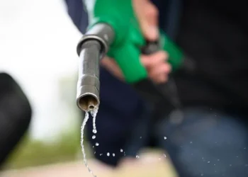
 ‘A Fragile Calm’: Oil Prices Dip as Trump Extends Iran Ceasefire, But Blockade Holds Firm
 Justice and Deceit: High Court Convicts Woman in Hong Kong Blackmail Plot
 “Three-Wheeled Triumph”: Mayor of Erewash Completes 2,000-Mile European Charity Run
 Tragedy in the Red Centre: Outback Search Ends in Discovery of Missing Girl’s Body
 “An Endurance Test for the Mind”: British Couple Sentenced to 10 Years in Tehran
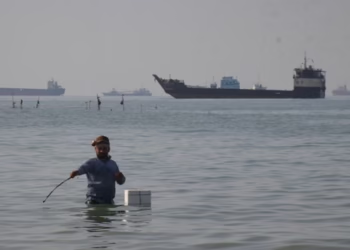 US to Escort Trapped Ships Through the Strait of Hormuz
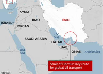 “The Pivot to Pakistan”: Trump Pauses ‘Project Freedom’ in Hormuz Amid Iran Deal Hopes
 “The Digital Frontier”: Scotland’s Papers Grapple with AI Harassment and ‘Mortgage Bottlenecks’
 “The Local Gavel”: Polls Open Across Hampshire and Isle of Wight in Delayed ‘Milestone’ Vote
 “The Blue Light Intersection”: Seventeen-Year-Old Critically Injured in ‘Nasty’ Police Pursuit Crash
 “The Fractured Frontier”: Sir John Curtice Declares the ‘Sacred’ Two-Party Era Over After ‘Milestone’ Results
 US Awaits Iran Reply on New Ceasefire Proposal
 “The End of the Towel War?”: How Hotels are ‘Clinically’ Stopping the Sunbed Dash
 Putin Signals War End as Russian Momentum Stalls
 Philippine Senator Flees After Days Under Senate Siege
 High Street Crisis: Fears Grow Over Post Office Closures


